


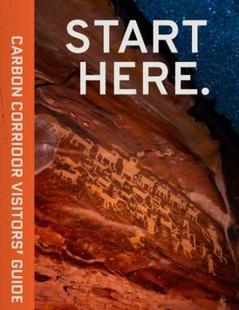
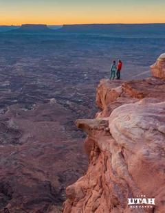


The San Rafael Swell is a terrifically wild and seldom visited area of desert canyons in the heart of Utah. Visitors here should expect plenty of solitude in a harsh but starkly beautiful setting. Several rough but passable scenic drives are available as is backcountry hiking for the adventurous. The San Rafael River through the "Little Grand Canyon" makes for a pleasant flat water trip by raft or canoe, but only from May to June, when the water is high.
The San Rafael Swell occupies an area 65 miles north to south and 40 miles across. The town of Price is 25 miles north, Green River is 20 miles east. The closest town is Castle Dale to the west. The Swell is bisected by I-70, creating a northern and southern half.
The northern and southern sections of San Rafael Swell are distinct in other ways besides direction. The northern part is home to that "Little Grand Canyon" and also Mexican Bend and Saddle Horse Canyon, among many other formations. The southern part is distinguished by peaks bordered by narrow canyons, among them the Devils and Eagles Canyons. The Swell as a whole can be mesmerizing and maze-like and can easily be visited over and over again with no repetition.
To learn more about the San Rafael Swell, select a topic of interest from the left-hand column.