Basics
- Location:
- Between Rocky Mountain National Park and State Bridge (southwest of Kremmling)
- Setting:
- Flat to Hilly
- Surface:
- Paved
- Length:
- 80 miles
- Time:
- 2 hours
- Season:
- Year-round
Description
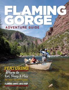
There are plenty of opportunities to enjoy the water along the way, including fishing the Gold Meadow Waters of the upper Colorado for trout, hiking in the peaceful Middle Park area, or just enjoying the sights and sounds of the river.
Details
Location:
Setting:
Surface:
Length:
The westernmost 25 miles of the route (between Kremmling and State Bridge) is a gravel road not suitable for buses or large RVs. The remainder of the road is paved and can be driven by any vehicle.


