


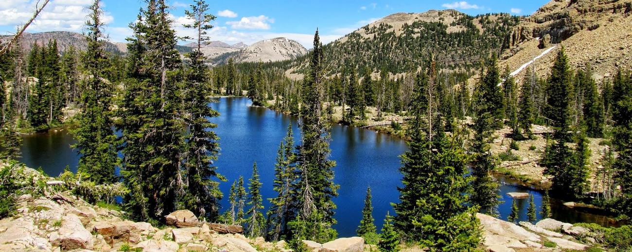
Weather information for the Uinta Mountains area is provided below. Average temperatures, climate details and current forecasts are included!
- Loading
Your request has been processed, thank you!
We also have the following visitor guides in Utah. Click on any additional guides you would like to receive.


Utah - Life Elevated Statewide
Utah - Life Elevated

Emery County, Utah South Central Utah
Emery County, Utah

Flaming Gorge Country Northeastern Utah
Flaming Gorge Country

Bear Lake Northern Utah
Bear Lake

Davis County Northern Utah
Davis County

Uintah County - Vernal Northeastern Utah
Uintah County - Vernal

Heber Valley North Central Utah
Heber Valley

Zion National Park - North Rim Grand Canyon Southern Utah
Zion National Park - North Rim Grand Canyon

Moab Southeast Utah
Moab

Park City Summer North Central Utah
Park City Summer

San Juan County Southeast Utah
San Juan County

Palisade, Colorado Western
Palisade, Colorado

Capitol Reef Country Central Utah
Capitol Reef Country

Visit Moffat County Northwestern Colorado
Visit Moffat County

Park City Winter North Central Utah
Park City Winter

Ski Utah Utah
Ski Utah

Explore Utah Valley Utah
Explore Utah Valley

Visit Ogden - Northern Utah Ogden
Visit Ogden - Northern Utah

Cedar City & Brian Head Southern Utah
Cedar City & Brian Head

Logan - Cache Valley Northern Utah
Logan - Cache Valley

Box Elder County Northern Utah
Box Elder County

Richfield, Utah Central Utah
Richfield, Utah

Bryce Canyon Country Southern Utah
Bryce Canyon Country
We also have visitor guides available in states highlighted in blue below. Click on any state to see what's available.
- Alaska
- Arizona
- California
- Canada
- Colorado
- Hawaii
- Idaho
- Louisiana
- Michigan
- Montana
- Nevada
- New Mexico
- Ohio
- Oregon
- Texas
- Utah
- Washington
- Wyoming
Climate
The main season in the Uintas generally lasts from late-June to mid-September, a bit longer at lower elevations. In summer, temperatures reach the 70's during the day but often drop into the 30's at night. Snow in the higher elevations can occur even in July.
The snow starts falling in earnest in October and stays on the ground into early June. Hwy 150 is plowed up to Soapstone Campground to provided access, but is generally unpassable further on by early November. Hwy 191 is kept open year round. Trails are usually dry enough to use by mid-June at the lower elevations, but not until July in the high country.
Live weather is currently unavailable.
Please visit weather.gov for current and forecasted weather.
This Afternoon
Heavy Snow
Tonight
Light Snow
Friday
Light Snow
Friday Night
Chance Light Snow then Partly Cloudy
Saturday
Sunny
Saturday Night
Mostly Clear
29°F
Wind 12 mph SSW
14°F
Wind 6 to 10 mph W
25°F
Wind 6 to 9 mph WNW
8°F
Wind 6 to 9 mph NW
33°F
Wind 7 mph NW
14°F
Wind 6 mph N
Detailed Forecast |
|
|---|---|
| This Afternoon | Snow. Cloudy. High near 29, with temperatures falling to around 20 in the afternoon. Wind chill values as low as 9. South southwest wind around 12 mph. Chance of precipitation is 100%. New snow accumulation of 5 to 9 inches possible. |
| Tonight | Snow. Cloudy, with a low around 14. Wind chill values as low as 5. West wind 6 to 10 mph. Chance of precipitation is 90%. New snow accumulation of 2 to 4 inches possible. |
| Friday | Snow. Cloudy. High near 25, with temperatures falling to around 21 in the afternoon. Wind chill values as low as 5. West northwest wind 6 to 9 mph. Chance of precipitation is 90%. New snow accumulation of 1 to 3 inches possible. |
| Friday Night | A chance of snow before 11pm. Partly cloudy, with a low around 8. Wind chill values as low as -1. Northwest wind 6 to 9 mph. Chance of precipitation is 40%. New snow accumulation of less than half an inch possible. |
| Saturday | Sunny, with a high near 33. Northwest wind around 7 mph. |
| Saturday Night | Mostly clear, with a low around 14. |
| Sunday | Sunny, with a high near 40. |
| Sunday Night | Mostly clear, with a low around 18. |
| Monday | Mostly sunny, with a high near 38. |
| Monday Night | A slight chance of snow after midnight. Mostly cloudy, with a low around 20. |
| Tuesday | Snow likely. Mostly cloudy, with a high near 32. New snow accumulation of 1 to 3 inches possible. |
| Tuesday Night | Snow likely. Mostly cloudy, with a low around 18. New snow accumulation of 1 to 2 inches possible. |
| Wednesday | Snow. Mostly cloudy, with a high near 30. New snow accumulation of 2 to 4 inches possible. |
| Wednesday Night | Snow likely. Mostly cloudy, with a low around 19. New snow accumulation of 4 to 8 inches possible. |


