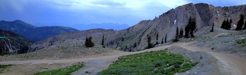
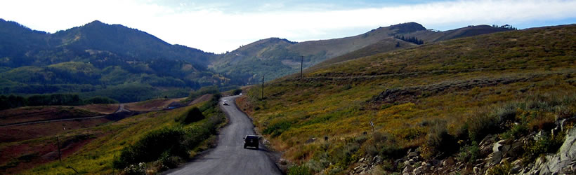
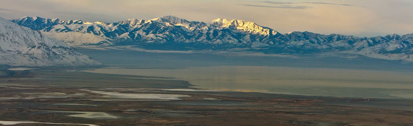
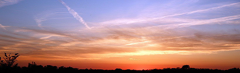
Weather information for the Wasatch Mountains area is provided below. Average temperatures, climate details and current forecasts are included!
- Loading
Your request has been processed, thank you!
We also have the following visitor guides in Utah. Click on any additional guides you would like to receive.


Utah - Life Elevated Statewide
Utah - Life Elevated

Emery County, Utah South Central Utah
Emery County, Utah

Flaming Gorge Country Northeastern Utah
Flaming Gorge Country

Bear Lake Northern Utah
Bear Lake

Davis County Northern Utah
Davis County

Uintah County - Vernal Northeastern Utah
Uintah County - Vernal

Heber Valley North Central Utah
Heber Valley

Zion National Park - North Rim Grand Canyon Southern Utah
Zion National Park - North Rim Grand Canyon

Moab Southeast Utah
Moab

Park City Summer North Central Utah
Park City Summer

San Juan County Southeast Utah
San Juan County

Palisade, Colorado Western
Palisade, Colorado

Capitol Reef Country Central Utah
Capitol Reef Country

Visit Moffat County Northwestern Colorado
Visit Moffat County

Park City Winter North Central Utah
Park City Winter

Ski Utah Utah
Ski Utah

Explore Utah Valley Utah
Explore Utah Valley

Visit Ogden - Northern Utah Ogden
Visit Ogden - Northern Utah

Cedar City & Brian Head Southern Utah
Cedar City & Brian Head

Logan - Cache Valley Northern Utah
Logan - Cache Valley

Box Elder County Northern Utah
Box Elder County

Richfield, Utah Central Utah
Richfield, Utah

Bryce Canyon Country Southern Utah
Bryce Canyon Country
We also have visitor guides available in states highlighted in blue below. Click on any state to see what's available.
- Alaska
- Arizona
- California
- Canada
- Colorado
- Hawaii
- Idaho
- Louisiana
- Michigan
- Montana
- Nevada
- New Mexico
- Ohio
- Oregon
- Texas
- Utah
- Washington
- Wyoming
Climate
Generally the mountains are 5-15 degrees cooler than the towns that surround them. The mountains also get more precipitation.
Snow begins falling at the higher elevations in late October and keeps coming through May. Most trails are free of snow by June, though some have snow through July.
Fall colors are spectacular. Optimum viewing varies, but generally occurs late September into October.
Live weather is currently unavailable.
Please visit weather.gov for current and forecasted weather.
Overnight
Heavy Snow
Thursday
Heavy Snow then Snow Showers
Thursday Night
Snow Showers
Friday
Snow Showers
Friday Night
Light Snow Likely
Saturday
Sunny
25°F
Wind 16 mph S
28°F
Wind 14 to 17 mph SSW
18°F
Wind 7 to 17 mph SW
23°F
Wind 7 to 15 mph W
13°F
Wind 6 to 15 mph WNW
28°F
Wind 7 mph WNW
Detailed Forecast |
|
|---|---|
| Overnight | Snow. Cloudy. Low around 25, with temperatures rising to around 27 overnight. South wind around 16 mph, with gusts as high as 33 mph. Chance of precipitation is 100%. New snow accumulation of 7 to 11 inches possible. |
| Thursday | Snow before 11am, then snow showers. Cloudy. High near 28, with temperatures falling to around 24 in the afternoon. South southwest wind 14 to 17 mph, with gusts as high as 35 mph. Chance of precipitation is 100%. New snow accumulation of 11 to 17 inches possible. |
| Thursday Night | Snow showers. Cloudy. Low around 18, with temperatures rising to around 20 overnight. Southwest wind 7 to 17 mph, with gusts as high as 33 mph. Chance of precipitation is 90%. New snow accumulation of 8 to 12 inches possible. |
| Friday | Snow showers before 5pm, then snow likely. Cloudy, with a high near 23. Wind chill values as low as 9. West wind 7 to 15 mph, with gusts as high as 31 mph. Chance of precipitation is 90%. New snow accumulation of 3 to 5 inches possible. |
| Friday Night | Snow likely before 5am. Mostly cloudy, with a low around 13. West northwest wind 6 to 15 mph, with gusts as high as 31 mph. Chance of precipitation is 70%. New snow accumulation of less than half an inch possible. |
| Saturday | Sunny, with a high near 28. |
| Saturday Night | Mostly clear, with a low around 15. |
| Sunday | Sunny, with a high near 36. |
| Sunday Night | Mostly clear, with a low around 23. |
| Monday | Mostly sunny, with a high near 40. |
| Monday Night | Mostly cloudy, with a low around 27. |
| Tuesday | A chance of snow. Mostly cloudy, with a high near 33. New snow accumulation of 4 to 8 inches possible. |
| Tuesday Night | Snow. Mostly cloudy, with a low around 20. New snow accumulation of 3 to 7 inches possible. |
| Wednesday | Snow likely. Mostly cloudy, with a high near 31. New snow accumulation of 3 to 5 inches possible. |