


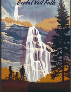

The Uintas are Utah's tallest mountain range with almost a dozen peaks exceeding 13,000 feet. The Uinta Mountains offer beautiful alpine forest scenery, grassy meadows, cold clear streams and thousands of alpine lakes. Scores of trails meander through the woods providing hiking and horseback riding opportunities and, in certain areas, mountain biking. Camping opportunities are plentiful both at designated forest service sites and at dispersed sites throughout the range. Fishing in the periodically stocked lakes can be sensational. In winter, cross-country skiers and (in some areas) snowmobiles take over.
The Uinta Mountains run east to west just south of the Wyoming/Utah border for 100 miles from Flaming Gorge to Kamas. They cover an area of 3,500 square miles. The center of the range is the officially designated High Uintas Wilderness Area, within which no motor vehicles, bikes or permanent structures are permitted. Though the wilderness area contains all of the highest peaks, areas of equal beauty lie outside its boundaries.
Highway 150 cuts through the western edge of the range and provides a pleasant scenic drive, as does Highway 191 on the eastern side. Numerous trailheads depart from near 150 and from the numerous smaller roads that penetrate the range. The western Uintas' proximity to population centers of the Wasatch Front (Salt Lake City, Provo and Ogden) often result in crowded conditions on weekends at the most easily accessed portions. The rest of the range is decidedly less crowded.
To learn more about the Uinta Mountains, select a topic of interest from the left-hand column.