


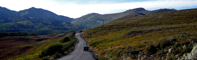
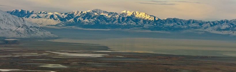

Scenic drives to consider in the Wasatch Mountains area are listed below. Click on any scenic byway or backway listed below for complete information.
Wasatch Mountains Scenic Drives
Search Wasatch Mountains Scenic Drives
scenic drive Results
Plot just the current page's results
Plot all results

14 scenic drive Results
More Info Logan Canyon Scenic Byway
- Paved
- 1-1/2 hours
- 41 miles oneway
More Info Official Website Alpine Scenic Loop In American Fork Canyon
- Paved
- 1 hour
- 24 miles oneway
More Info Big Cottonwood Canyon Scenic Byway
- Paved
- 45 minutes
- 14 miles oneway
More Info Cascade Springs Scenic Backway
- Paved and Dirt/Gravel
- 1 hour
- 25 miles oneway
More Info Guardsman Pass
- Rough Dirt/Gravel
- 1 hour
- 14 to 22 miles
More Info Hardware Ranch Road (Hwy. 101)
- Paved
- 1 hour
- 30 mile roundtrip
More Info Indian Canyon Scenic Byway
- Paved
- 1 hour
- 47 miles oneway
More Info Little Cottonwood Canyon Scenic Byway
- Paved
- 1-1/2 hours
- 22 mile roundtrip
More Info Mirror Lake Scenic Byway - UT Section
- 2 or 3 hours to drive.
- 65 miles (104 km)
More Info Mirror Lake Scenic Byway - Wyoming
- Approximately 20 minutes
- 20 miles (32 km)
- Loading
Your request has been processed, thank you!
We also have the following visitor guides in Utah. Click on any additional guides you would like to receive.


Bear Lake Northern Utah
Bear Lake
Carbon Corridor Central Utah
Carbon Corridor
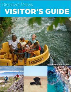
Davis County Northern Utah
Davis County

Uintah County - Vernal Northeastern Utah
Uintah County - Vernal

Emery County, Utah South Central Utah
Emery County, Utah
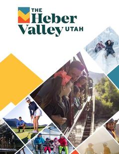
Heber Valley North Central Utah
Heber Valley
Zion National Park - North Rim Grand Canyon Southern Utah
Zion National Park - North Rim Grand Canyon
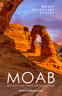
Moab Southeast Utah
Moab
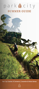
Park City Summer North Central Utah
Park City Summer
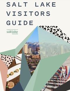
Salt Lake North Central Utah
Salt Lake
San Juan County Southeast Utah
San Juan County
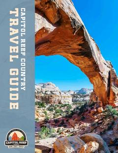
Capitol Reef Country Central Utah
Capitol Reef Country
Cedar City & Brian Head Southern Utah
Cedar City & Brian Head
Logan - Cache Valley Northern Utah
Logan - Cache Valley
Box Elder County Northern Utah
Box Elder County
Bryce Canyon Country Southern Utah
Bryce Canyon Country
Utah - Life Elevated Statewide
Utah - Life Elevated
Flaming Gorge Country Northeastern Utah
Flaming Gorge Country
Palisade, Colorado Western
Palisade, Colorado
Visit Moffat County Northwestern Colorado
Visit Moffat County
Park City Winter North Central Utah
Park City Winter
Ski Utah Utah
Ski Utah
Explore Utah Valley Utah
Explore Utah Valley

Visit Ogden - Northern Utah Ogden
Visit Ogden - Northern Utah
We also have visitor guides available in states highlighted in blue below. Click on any state to see what's available.
- Alaska
- Arizona
- California
- Canada
- Colorado
- Hawaii
- Idaho
- Louisiana
- Michigan
- Montana
- Nevada
- New Mexico
- Ohio
- Oregon
- Texas
- Utah
- Washington
- Wyoming