


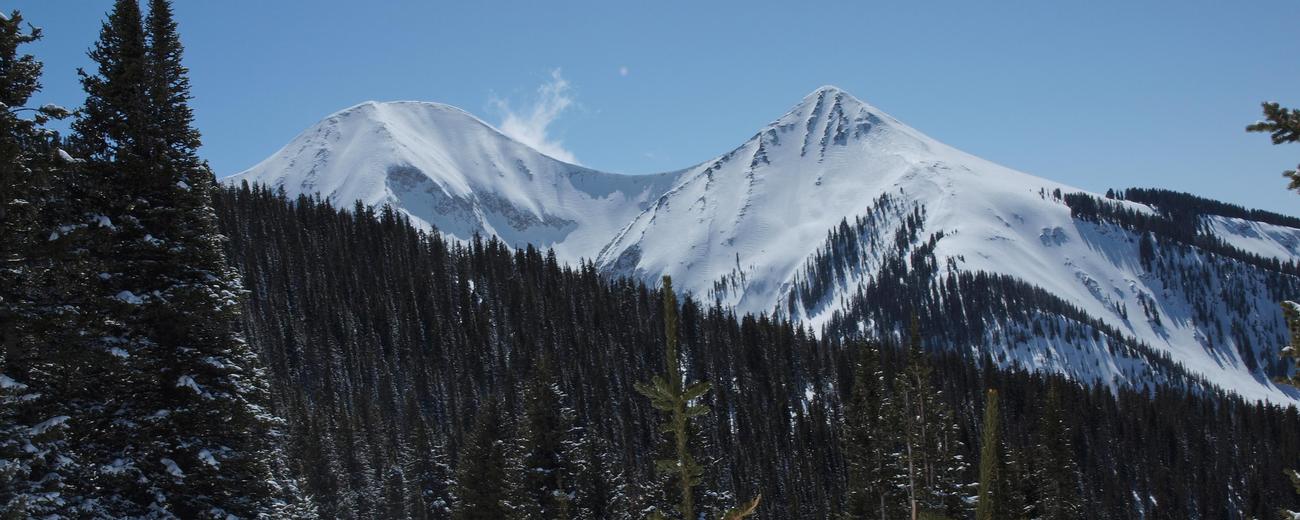


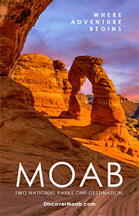
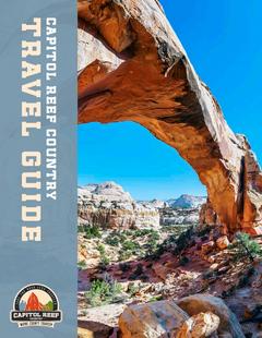


The La Sal Mountains are Utah's second highest mountain range. They rise impressively above the red rock canyon country of southeastern Utah. The range contains 6 peaks that rise above 12,000 feet, the tallest being Mount Peale at 12,721 feet. Covered with thick aspen and fir forests and dotted with mountain lakes, the La Sals are a cool oasis within the often difficult environment of the surrounding desert.
Numerous trails in the La Sals provide good hiking, biking and horseback riding routes from late spring to mid-autumn. In winter, the same trails are put to use by cross-country skiers and snowmobilers. The beauty of the La Sals can also be enjoyed by simply driving the La Sal Mountain Scenic Route.
The La Sal Mountains are located on the eastern border of Utah, about 15 miles east of Moab. They occupy a relatively small area, running just 15 miles north to south and 6 miles across. They are most easily accessed from the west on the La Sal Mountain Loop Road that begins south of Moab.
To learn more about the La Sal Mountains, select a topic of interest from the left-hand column.